We had the best tour of the Juneau Glaciers and Icefields and it was in a Helicopter. We’ve never been in a helicopter before and it was incredible.
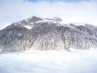
This shot is at the top of the Mendenhall Glacier at the base of the Icefield where all of the glaciers begin. This is the top of a mountain and just to the right of it is a “waterfall” of ice that is the beginning of the Mendenhall Glacier. The top of this peak is jagged because it was carved down by the ice and has started to show through because the glaciers in this area are receeding. (Well get into the “global warming” thing later. Prep your arguements.)

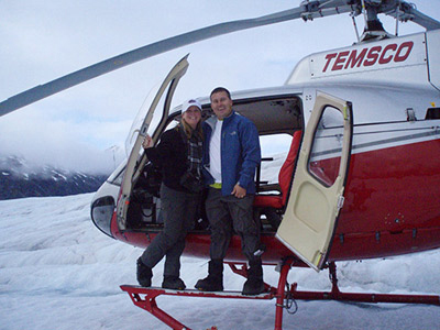
Then we got to land on the Mendenhall and the Herbert Glaciers. It is really freaky to stand on top of a moving block of ice that is hundreds of feet thick, especially when you can hear running water in the cracks of the glacier, and there are standing pools of ice cold water all around you.

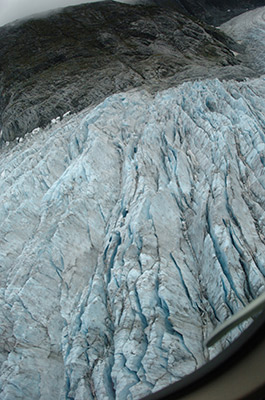
This is a rougher part of the glacier. Each of these cracks is a hundred or so feet deep. Our pilot said that this part of the glacier could be compared to rapids in a frozen river. The ice cracks because the rock beneath it is changing in elevation and the upper parts of the ice have to crack to continue on their path.

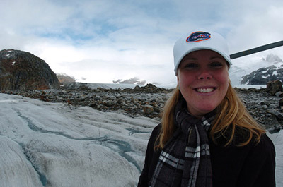
This is where we landed on the Herbert Glacier. Behind Sandra is the beginning of a medial moraine, where two glaciers have come together and a collection of rock debris that was picked up with the glacier will flow along with the ice as it goes down hill.

But we have so many photos to show you and we know you don’t have time to read about each one, so take a look at this video instead. (You know you love it when we save you time like this!)
